Reading time: minute(s)
 Deutsch
 English
 Français
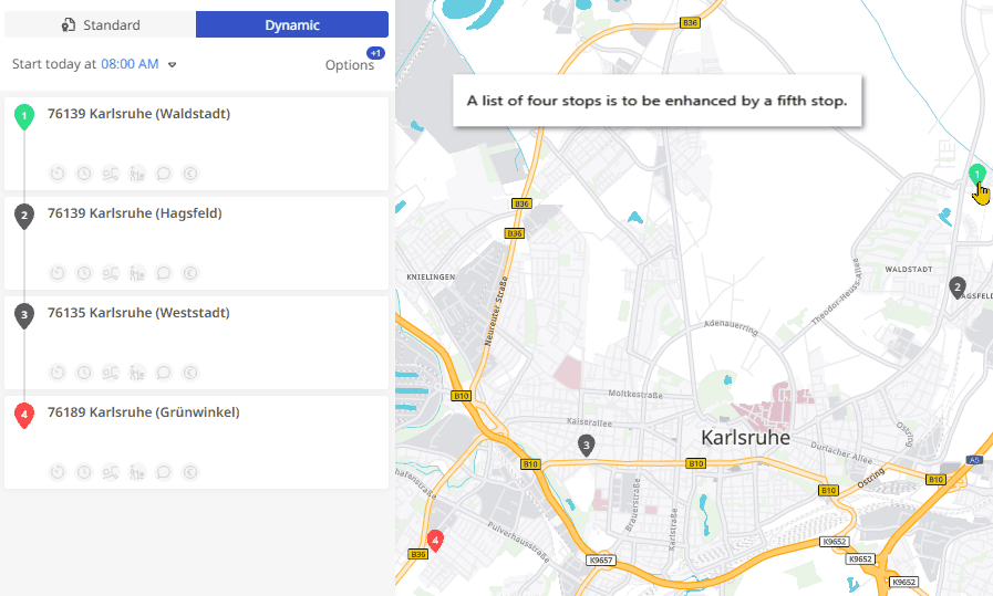
Information in the stop list
As soon as you calculate a route from a stop list, it displays several pieces of information. Below is an explanation of the possible information contained.
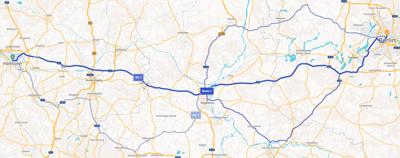
General:

|
The starting point of the route is marked with a green balloon with the number 1. The address data stored is displayed on each balloon. Countries are displayed with ISO 2 country codes. |
||

|
Stops located between the starting point and the destination point of the route are marked with a blue balloon and a corresponding number. The address data stored is displayed on each balloon. Countries are displayed with ISO 2 country codes. |
||

|
The end point of the route is marked with a red balloon and a corresponding number. The address data stored is displayed on each balloon. Countries are displayed with ISO 2 country codes. |
||

|
Icons are displayed next to each stop when you move the mouse over the stop. You can use these icons to
|
||

|
If the route includes a ferry connection, this is marked with a gray balloon and the ferry symbol. The start and end points of the ferry connection are displayed. |
||

|
If the route includes a loading transport, e.g. through a tunnel, this is marked with a gray balloon and the train symbol. The name of the tunnel is displayed. |
||
|
If the route is calculated in standard mode, the ruler symbol shows the distance to the previous stop. The clock symbol shows the travel time from the previous stop. |
||
|
Elements that are only displayed in dynamic calculation mode: |
|||


|
In dynamic calculation mode, the corresponding symbols under the address of the stop indicate whether settings have been made (black) or not (gray) for the respective option |
||
|
|||

|
If the route is calculated in dynamic mode, the
|
||
|
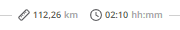
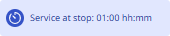
Service times, breaks, rest periods and waiting times: |
|||

|
If driving and rest times are included, the route may automatically include planned breaks. These are marked with the symbol of a coffee pot. The available address data is displayed at break locations. The corresponding icon is also displayed on the map at the relevant point along the route. When you hover your mouse over the icon, a tooltip will display the address, arrival time, duration, and departure time for the stop. |
||
|
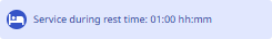
If a service takes place at a stop, it is displayed directly at the stop after calculation. |
||
|
If a break occurs within a service period due to the settings for driving and rest times, this is displayed as break time at the stop. |
||
|
If a rest period results from the settings for driving and rest periods within a service period, this is displayed as a rest period at the stop. |
||
|
If there is a waiting time due to a time slot at the stop, this is displayed directly at the stop after calculation. |
||
|
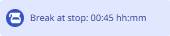
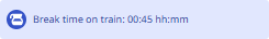
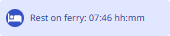
If there is a break due to a ferry or train journey, this will be displayed directly at the ferry/train after the calculation. |
||
|
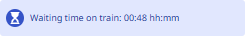
If a ferry or train journey results in a waiting time, this is displayed directly at the stop after the calculation. |
||

|
If driving and rest periods are included and a daily rest period is planned, the route may automatically include planned rest periods. These are marked with the symbol of a bed at the stop. The corresponding icon is also displayed on the map at the relevant point along the route. When you hover your mouse over the icon, a tooltip will display the address, arrival time, duration, and departure time for the stop. |
||
|
If the rest time results from a ferry or train journey, this is displayed directly on the connection after the calculation. |
||