Route planning
The route planning module allows you to create a route with any number of stops.
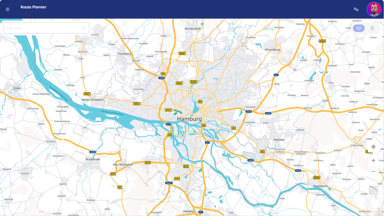
If you do not allow access to the location, the default view is centered on Europe.
General
|
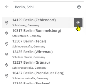
You can use the search bar on the left-hand side to search for specific locations to add them as a stop on your route. Alternatively, you can also add a stop to your route by clicking on the desired location on the map.
|
|
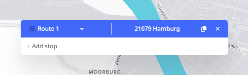
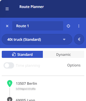
As soon as you have added more than one stop, you can make various settings for the calculation of a route and then have the route calculated.
You can specify whether the calculation of the route is to be based:
In the dynamic calculation, you can also select your own vehicle profiles, whereas the calculation in standard mode can only be carried out using the standard vehicle profiles provided. |
|
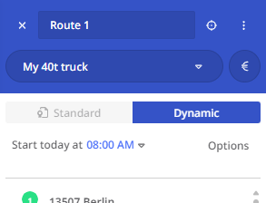
The calculated route is displayed on the map. The rough route is listed in the left-hand window area. Information on distances, times, costs and emissions is displayed in the right-hand pane. Depending on the calculation mode, this information is based on the settings in your cost and vehicle profiles (Standard and Dynamic) and on the settings you have made for the individual stops (Dynamic).
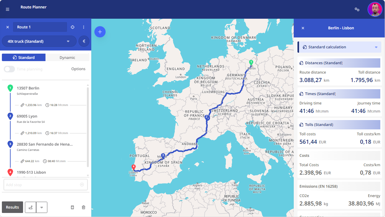
Detailed information on the information in the right-hand window area can be found in the section Route details.
Environmental zones
The map view also shows you the low-emission zones that apply in many European cities. This helps you to plan your routes and select suitable vehicles for a route.
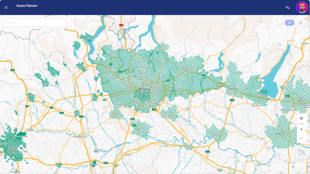
The following applies:
-
Permanently valid low-emission zones are marked in solid color.
-
Environmental zones with additional air protection zones are marked with hatching. These air protection zones are temporary in nature, as they are activated by the cities as required.